I’m having breakfast at Namely Harbour tomorrow at 0920 DST, three hours after high tide. I need to calculate the depth to anchor and I’m worried that we’ll run aground.
If you recognize the name – Namely Harbour – then I shall assume you are taking RYA training. This is a fictitious port created by the makers of the RYA charts that are used for the RYA Day Skipper theory course.
Reading tide and tide curve tables is something that coastal folks do since the day of birth. My aunt lives on the Isle of Wight. She uses the tide tables to plan her daily walks. But for me they are new.
Fortunately, I’ve found it easy to determine and predict water depth using tide tables. So, I’m annoyed that I’m stumped on one question, which is where to anchor at Namely Harbour for breakfast at 0920.
We are considering buying a catamaran. Perhaps it doesn’t matter so much if I get the depth of clearance wrong and we run aground. But, I suspect this is not the answer that my RYA course is looking for, and not a conversation that I want to be having with my family as we sit on a sandbar somewhere.
In talking to my husband this evening it sounds like boats anchor with as little as a meter or less of clearance between the keel and the bottom of the sea. I will persist and get past this question. But, my children are a priority. Two birthday parties on the same day are competing for my attention at the moment.
Breakfast at Namely Harbour will have to wait.
That was then.
—————–
2025 Update
We bought a catamaran in March 2015. We moved house, we sold our belongings, and began sailing. COVID interrupted our trajectory. We eventually crossed the Panama Canal in 2021 and are still circumnavigating, having visited 35 countries.
What makes for a great anchorage?
Rather than finding anchorages based strictly on depth, we lean towards picking an anchorage based on:
- shelter it offers from weather systems or current
- a description in a Pilot Guide, a w,ebsite, or sailing guide book
- shore access (a dinghy dock is a bonus)
- proximity to a grocery or hardware store, hospital, pharmacy, laundromat or restaurant
- social activities like a bonfire on the beach
- meeting someone to buy a used piece of boat gear
- WIFI access, though Starlink has changed that,
- avoidance of unexploded ammunition, or fouled bottoms (such as the shipwrecks and WWII debris that remain in Iron Bottom Bay, Honiara, Solomon Islands)
- sandy bottom, maybe mud, but not rocks, and
- clear water, if possible.
Clear water is nice for swimming and is better for filtering sea water to make drinking water using our reverse osmosis machine. Brackish water tends to clog the filters.
Anchoring with less than a meter below our keel?
Yes, we have done it.
In Staniel Cay, Bahamas, for example, there are two deep areas separated by a sandbar. In reaching this anchorage, we traversed an area with only six inches below our keels.
At that depth, we could clearly see the sea fans as they crossed under our bow. The bottom was sandy. So, if we did touch the bottom there would be minimal risk of damaging the keels.
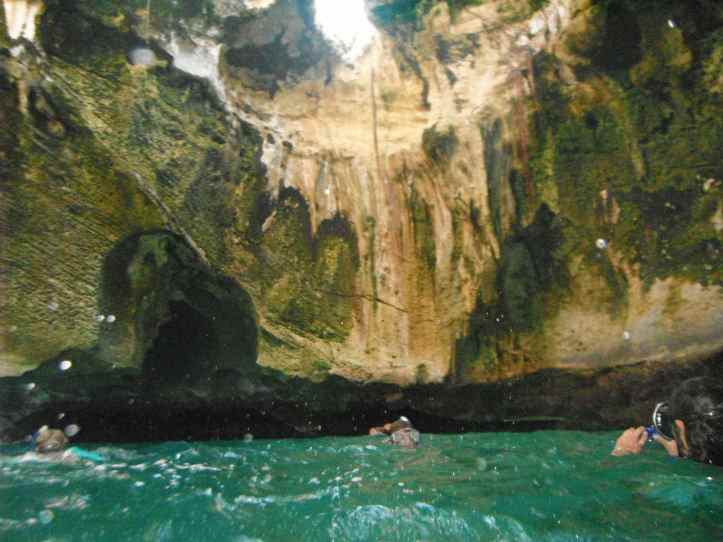
People familiar with Staniel Cay will know that I’m describing the anchorage just outside Thunderball Grotto. This cave is accessible to swim in during low tide. It is featured in the 1965 James Bond movie, “Thunderball,” as well as the 1984 movie, “Splash”. Friends of ours said they shared the cave with a six foot nurse shark. We did not. Our experience was marked by some tourists cannonballed through the open air roof into the water in the cave below. I’m glad they landed safely. Their enthusiasm was infectious.

Isn’t it Namley Harbour, not Namely?
LikeLike
Maybe, but if we get lost we could always just pull over and ask for directions.
LikeLike